Wishanger Farm
Introduction
The photograph on this page of Wishanger Farm by Colin Smith as part of the Geograph project.
The Geograph project started in 2005 with the aim of publishing, organising and preserving representative images for every square kilometre of Great Britain, Ireland and the Isle of Man.

There are currently over 7.5m images from over 14,400 individuals and you can help contribute to the project by visiting https://www.geograph.org.uk
Wishanger Farm
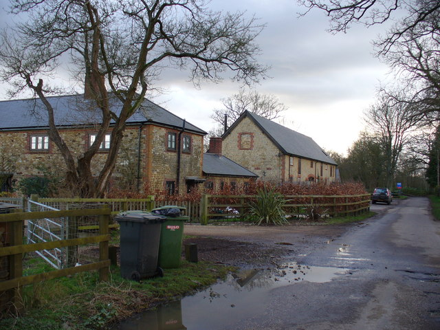
Image: © Colin Smith Taken: 3 Mar 2007
Brick buildings along the straight minor road. Surrounding fields are mainly grassy paddocks.
Images are licensed for reuse under creativecommons.org/licenses/by-sa/2.0
Image Location


Leaflet Map data © OpenStreetMap
Latitude
51.143142
Longitude
-0.802456