Summers Houses, Cwmtillery
Introduction
The photograph on this page of Summers Houses, Cwmtillery by Jaggery as part of the Geograph project.
The Geograph project started in 2005 with the aim of publishing, organising and preserving representative images for every square kilometre of Great Britain, Ireland and the Isle of Man.

There are currently over 7.5m images from over 14,400 individuals and you can help contribute to the project by visiting https://www.geograph.org.uk
Summers Houses, Cwmtillery
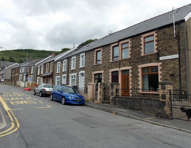
Image: © Jaggery Taken: 24 Jun 2013
There are several separately-named rows of houses in Tillery Road Cwmtillery. This one is named Summers Houses, located between Mount Pleasant Row behind the camera and Rosegreen Cottages ahead.
Images are licensed for reuse under creativecommons.org/licenses/by-sa/2.0
Image Location
Latitude
51.742833
Longitude
-3.131981