Lane crossing Brockey River
Introduction
The photograph on this page of Lane crossing Brockey River by Derek Harper as part of the Geograph project.
The Geograph project started in 2005 with the aim of publishing, organising and preserving representative images for every square kilometre of Great Britain, Ireland and the Isle of Man.

There are currently over 7.5m images from over 14,400 individuals and you can help contribute to the project by visiting https://www.geograph.org.uk
Lane crossing Brockey River
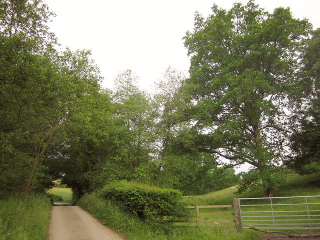
Image: © Derek Harper Taken: 26 Jun 2013
An almost imperceptible hump about 40 metres ahead is the only indication of Nightcott Bridge, where the lane crosses the river. This is a summer view of the scene in Image
Images are licensed for reuse under creativecommons.org/licenses/by-sa/2.0
Image Location


Leaflet Map data © OpenStreetMap
Latitude
51.020992
Longitude
-3.56486