St Julian's Well
Introduction
The photograph on this page of St Julian's Well by Ian Capper as part of the Geograph project.
The Geograph project started in 2005 with the aim of publishing, organising and preserving representative images for every square kilometre of Great Britain, Ireland and the Isle of Man.

There are currently over 7.5m images from over 14,400 individuals and you can help contribute to the project by visiting https://www.geograph.org.uk
St Julian's Well
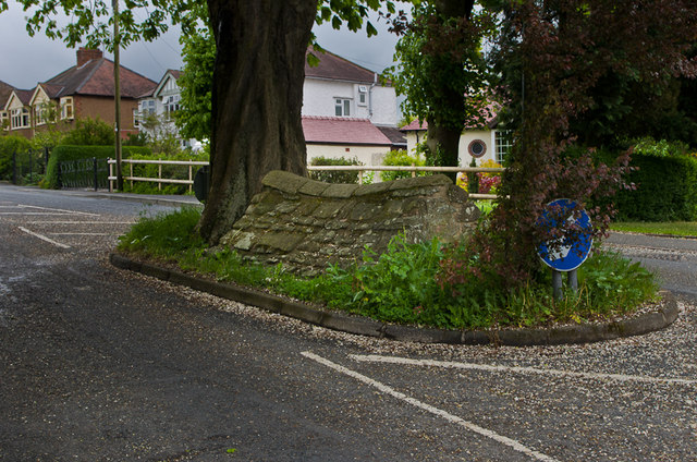
Image: © Ian Capper Taken: 30 May 2013
18th century well head in Livesey Road. The site originally stood inside an Augustian Friary foundede here in the 13th century, and is thought to be the source of Ludlow's first public water supply. Grade II listed - see www.historicengland.org.uk/listing/the-list/list-entry/1202883.
Images are licensed for reuse under creativecommons.org/licenses/by-sa/2.0
Image Location
Latitude
52.371456
Longitude
-2.708758