West Wimbledon: Wool Road
Introduction
The photograph on this page of West Wimbledon: Wool Road by Dr Neil Clifton as part of the Geograph project.
The Geograph project started in 2005 with the aim of publishing, organising and preserving representative images for every square kilometre of Great Britain, Ireland and the Isle of Man.

There are currently over 7.5m images from over 14,400 individuals and you can help contribute to the project by visiting https://www.geograph.org.uk
West Wimbledon: Wool Road
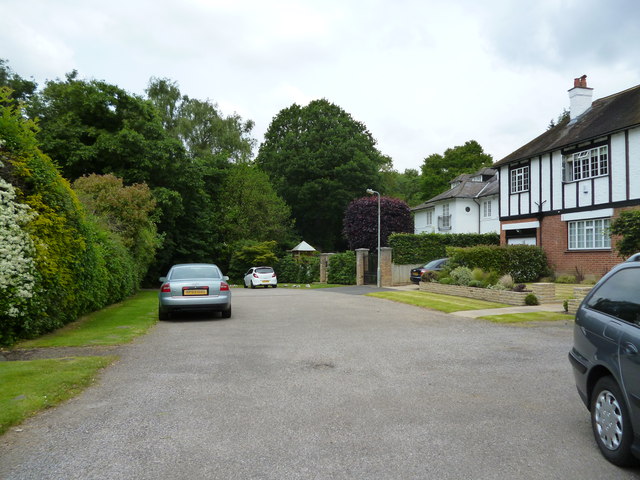
Image: © Dr Neil Clifton Taken: 27 Jun 2013
A gate, often locked, leads through from here onto the Royal Wimbledon Golf Course.
Images are licensed for reuse under creativecommons.org/licenses/by-sa/2.0
Image Location
Latitude
51.421547
Longitude
-0.233844