Wilbury Road
Introduction
The photograph on this page of Wilbury Road by Simon Carey as part of the Geograph project.
The Geograph project started in 2005 with the aim of publishing, organising and preserving representative images for every square kilometre of Great Britain, Ireland and the Isle of Man.

There are currently over 7.5m images from over 14,400 individuals and you can help contribute to the project by visiting https://www.geograph.org.uk
Wilbury Road
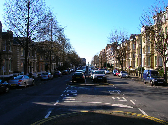
Image: © Simon Carey Taken: 3 Mar 2007
The road stretches from Church Road to Cromwell Road. Built up from the 1880s onwards like many of the thoroughfares built on the former Stanford Estate the road is very wide.
Images are licensed for reuse under creativecommons.org/licenses/by-sa/2.0
Image Location


Leaflet Map data © OpenStreetMap
Latitude
50.829394
Longitude
-0.165973