View Over Fields
Introduction
The photograph on this page of View Over Fields by Alan Walker as part of the Geograph project.
The Geograph project started in 2005 with the aim of publishing, organising and preserving representative images for every square kilometre of Great Britain, Ireland and the Isle of Man.

There are currently over 7.5m images from over 14,400 individuals and you can help contribute to the project by visiting https://www.geograph.org.uk
View Over Fields
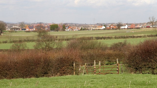
Image: © Alan Walker Taken: 2 Mar 2007
This view over fields was taken from a footpath that connects Image (southerly, behind and right of the viewpoint) with Image (northerly, ahead and left) in Lower Pilsley. The buildings in the middle distance are on Image with Park House Primary School being toward the left. To see another photograph taken from approximately the viewpoint but some 90° to the left, click here Image
Images are licensed for reuse under creativecommons.org/licenses/by-sa/2.0
Image Location
Latitude
53.166369
Longitude
-1.379052