Wykeham Carr Lane
Introduction
The photograph on this page of Wykeham Carr Lane by Barbara Carr as part of the Geograph project.
The Geograph project started in 2005 with the aim of publishing, organising and preserving representative images for every square kilometre of Great Britain, Ireland and the Isle of Man.

There are currently over 7.5m images from over 14,400 individuals and you can help contribute to the project by visiting https://www.geograph.org.uk
Wykeham Carr Lane
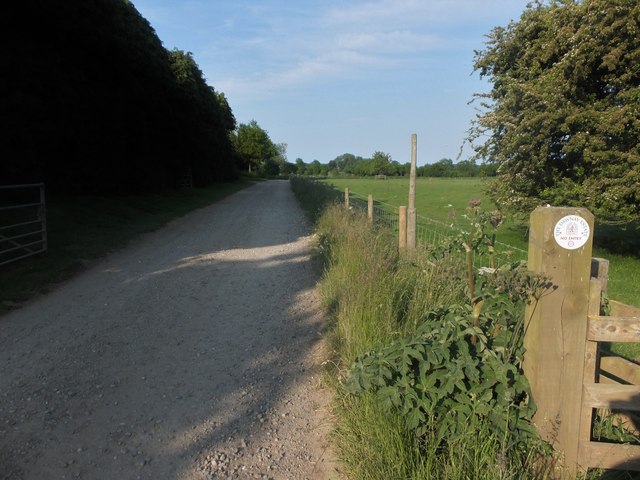
Image: © Barbara Carr Taken: 19 Jun 2013
At the entry to the Dawnay Estate. 'NO ENTRY' - this was my second choice of road for heading east on my walk (see Image) so I had to rethink my plans and return to West Ayton via Brompton-by-Sawdon.
Images are licensed for reuse under creativecommons.org/licenses/by-sa/2.0
Image Location
Latitude
54.212635
Longitude
-0.524684