Where Queensway meets Kingston
Introduction
The photograph on this page of Where Queensway meets Kingston by Neil Owen as part of the Geograph project.
The Geograph project started in 2005 with the aim of publishing, organising and preserving representative images for every square kilometre of Great Britain, Ireland and the Isle of Man.

There are currently over 7.5m images from over 14,400 individuals and you can help contribute to the project by visiting https://www.geograph.org.uk
Where Queensway meets Kingston
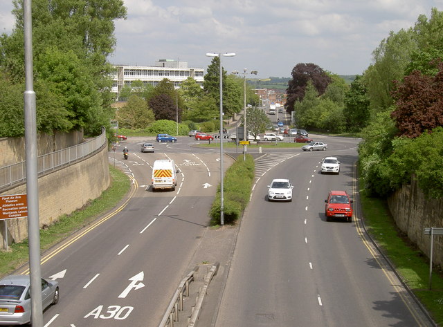
Image: © Neil Owen Taken: 5 Jun 2013
Or the A30 meets the A37, if you prefer. Yeovil's primary route through town, with Reckleford in the far distance. See Image] for the bridge and Image] for the sign.
Images are licensed for reuse under creativecommons.org/licenses/by-sa/2.0
Image Location
Latitude
50.943505
Longitude
-2.636046