A358 at Millbrook Cross
Introduction
The photograph on this page of A358 at Millbrook Cross by Derek Harper as part of the Geograph project.
The Geograph project started in 2005 with the aim of publishing, organising and preserving representative images for every square kilometre of Great Britain, Ireland and the Isle of Man.

There are currently over 7.5m images from over 14,400 individuals and you can help contribute to the project by visiting https://www.geograph.org.uk
A358 at Millbrook Cross
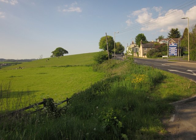
Image: © Derek Harper Taken: 25 May 2013
Millbrook Cross is just to the right. On the right, the Chard Road is climbing the hill seen from the other direction in Image On the left is pasture sloping down to the Mill Brook.
Images are licensed for reuse under creativecommons.org/licenses/by-sa/2.0
Image Location
Latitude
50.78573
Longitude
-2.990676