Millbrook Meadows
Introduction
The photograph on this page of Millbrook Meadows by Derek Harper as part of the Geograph project.
The Geograph project started in 2005 with the aim of publishing, organising and preserving representative images for every square kilometre of Great Britain, Ireland and the Isle of Man.

There are currently over 7.5m images from over 14,400 individuals and you can help contribute to the project by visiting https://www.geograph.org.uk
Millbrook Meadows
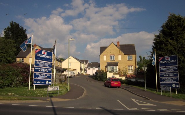
Image: © Derek Harper Taken: 25 May 2013
A new housing development seen across the A358; the junction can be seen in Image The road you can see here is Cherry Tree Road.
Images are licensed for reuse under creativecommons.org/licenses/by-sa/2.0
Image Location
Latitude
50.785465
Longitude
-2.990103