Daybrook: footpath to Edwards Lane
Introduction
The photograph on this page of Daybrook: footpath to Edwards Lane by John Sutton as part of the Geograph project.
The Geograph project started in 2005 with the aim of publishing, organising and preserving representative images for every square kilometre of Great Britain, Ireland and the Isle of Man.

There are currently over 7.5m images from over 14,400 individuals and you can help contribute to the project by visiting https://www.geograph.org.uk
Daybrook: footpath to Edwards Lane
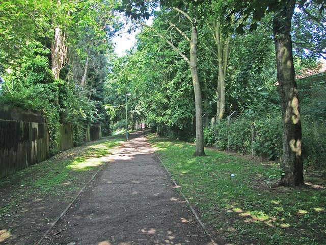
Image: © John Sutton Taken: 25 Jun 2013
This path skirts the site of Daybrook railway station (closed 1960). The station was to the right, with the Bero flour factory immediately to the north of it. The back gardens of the houses on Bedale Road are on the left.
Images are licensed for reuse under creativecommons.org/licenses/by-sa/2.0
Image Location
Latitude
52.994805
Longitude
-1.139854