Sidbury: Manor Mill Leat
Introduction
The photograph on this page of Sidbury: Manor Mill Leat by Martin Bodman as part of the Geograph project.
The Geograph project started in 2005 with the aim of publishing, organising and preserving representative images for every square kilometre of Great Britain, Ireland and the Isle of Man.

There are currently over 7.5m images from over 14,400 individuals and you can help contribute to the project by visiting https://www.geograph.org.uk
Sidbury: Manor Mill Leat
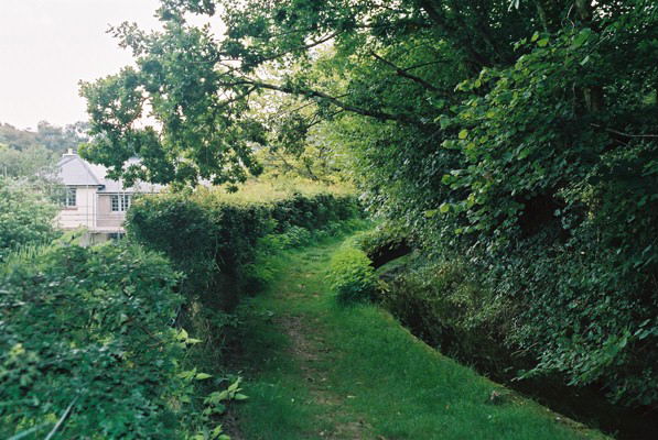
Image: © Martin Bodman Taken: 3 Sep 2004
The water-powered Manor Mill has been restored and is open to the public
Images are licensed for reuse under creativecommons.org/licenses/by-sa/2.0
Image Location


Leaflet Map data © OpenStreetMap
Latitude
50.716668
Longitude
-3.226627