Second Avenue, Axminster
Introduction
The photograph on this page of Second Avenue, Axminster by Derek Harper as part of the Geograph project.
The Geograph project started in 2005 with the aim of publishing, organising and preserving representative images for every square kilometre of Great Britain, Ireland and the Isle of Man.

There are currently over 7.5m images from over 14,400 individuals and you can help contribute to the project by visiting https://www.geograph.org.uk
Second Avenue, Axminster
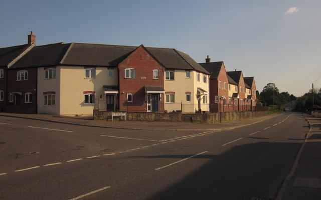
Image: © Derek Harper Taken: 25 May 2013
A road of modern housing turns off the A358 Chard Road north of the town.
Images are licensed for reuse under creativecommons.org/licenses/by-sa/2.0
Image Location
Latitude
50.790617
Longitude
-2.986948