Bridleway diversion
Introduction
The photograph on this page of Bridleway diversion by Robin Webster as part of the Geograph project.
The Geograph project started in 2005 with the aim of publishing, organising and preserving representative images for every square kilometre of Great Britain, Ireland and the Isle of Man.

There are currently over 7.5m images from over 14,400 individuals and you can help contribute to the project by visiting https://www.geograph.org.uk
Bridleway diversion
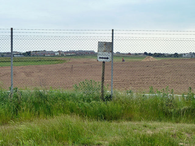
Image: © Robin Webster Taken: 26 Jun 2013
According to the rather weathered notice dated 2009, this is a six month temporary diversion extended for a further six months if required at the authorization of the Secretary of State. He must have been busy extending every six months as it is now about four years later and it is still diverted. The work beyond is final landscaping of the new sewage works area. It remains to be seen if the route will be reinstated to carry straight on as it once did.
Images are licensed for reuse under creativecommons.org/licenses/by-sa/2.0
Image Location
Latitude
50.799016
Longitude
0.012781