Five Ways, Merry Hill
Introduction
The photograph on this page of Five Ways, Merry Hill by Richard Vince as part of the Geograph project.
The Geograph project started in 2005 with the aim of publishing, organising and preserving representative images for every square kilometre of Great Britain, Ireland and the Isle of Man.

There are currently over 7.5m images from over 14,400 individuals and you can help contribute to the project by visiting https://www.geograph.org.uk
Five Ways, Merry Hill
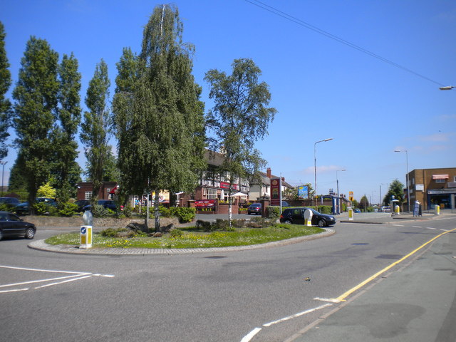
Image: © Richard Vince Taken: 6 Jun 2013
This roundabout, the focal point of Merry Hill district centre, was used for turning by Wolverhampton Corporation's Merry Hill trolleybus route, latterly numbered 13 and operating from Low Hill (Pear Tree) via the town centre. The trolleybuses arrived via Trysull Road (on the right, flanked by bus shelters); the main bus service here still arrives that way, but nowadays it continues to Springhill.
Images are licensed for reuse under creativecommons.org/licenses/by-sa/2.0
Image Location
Latitude
52.571058
Longitude
-2.171848