Newsole Farm, Singledge Lane
Introduction
The photograph on this page of Newsole Farm, Singledge Lane by John Baker as part of the Geograph project.
The Geograph project started in 2005 with the aim of publishing, organising and preserving representative images for every square kilometre of Great Britain, Ireland and the Isle of Man.

There are currently over 7.5m images from over 14,400 individuals and you can help contribute to the project by visiting https://www.geograph.org.uk
Newsole Farm, Singledge Lane
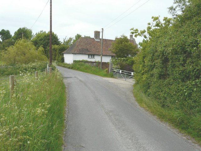
Image: © John Baker Taken: 16 Jun 2013
A bridleway, originating from a track near Waldershare House, emerges onto the lane through the farm gates. Newsole Farm dates from 1550. It has a late 17th century façade with Dutch gables (which can be partly seen on the right side of the roof) http://www.shepherdswellwithcoldredpc.kentparishes.gov.uk/UserFiles/file/ColdredChronical_1_.pdf
Images are licensed for reuse under creativecommons.org/licenses/by-sa/2.0
Image Location
Latitude
51.172112
Longitude
1.265688