Luib, Skye
Introduction
The photograph on this page of Luib, Skye by Andrew Hill as part of the Geograph project.
The Geograph project started in 2005 with the aim of publishing, organising and preserving representative images for every square kilometre of Great Britain, Ireland and the Isle of Man.

There are currently over 7.5m images from over 14,400 individuals and you can help contribute to the project by visiting https://www.geograph.org.uk
Luib, Skye
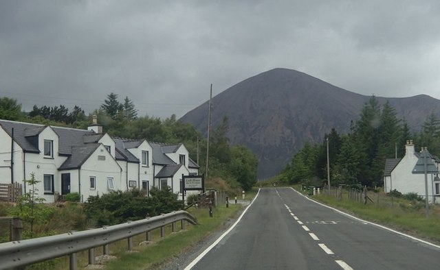
Image: © Andrew Hill Taken: 19 Jun 2013
The main A87 winding its way round Skye towards Portree, passes the small village by Loch Ainort.
Images are licensed for reuse under creativecommons.org/licenses/by-sa/2.0
Image Location
Latitude
57.276408
Longitude
-6.045755