Farmland at Gwarwaun
Introduction
The photograph on this page of Farmland at Gwarwaun by Philip Halling as part of the Geograph project.
The Geograph project started in 2005 with the aim of publishing, organising and preserving representative images for every square kilometre of Great Britain, Ireland and the Isle of Man.

There are currently over 7.5m images from over 14,400 individuals and you can help contribute to the project by visiting https://www.geograph.org.uk
Farmland at Gwarwaun
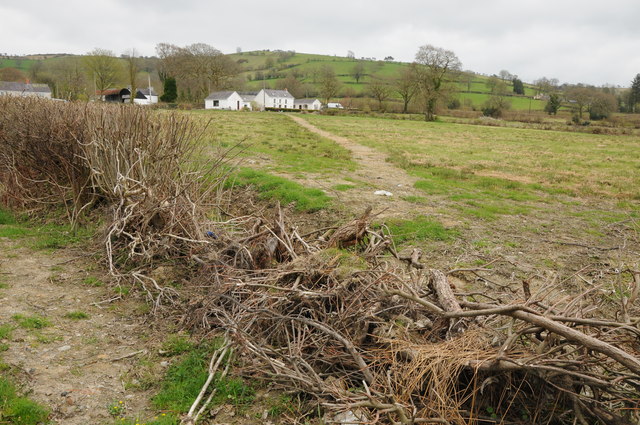
Image: © Philip Halling Taken: 5 May 2013
The ground in this field near Gwarwaun has the appearance that it may recently had a pipeline laid across it. Also the hedge in the foreground is in a sorry state.
Images are licensed for reuse under creativecommons.org/licenses/by-sa/2.0
Image Location
Latitude
51.998557
Longitude
-3.959851