Temperance Villas
Introduction
The photograph on this page of Temperance Villas by Chris as part of the Geograph project.
The Geograph project started in 2005 with the aim of publishing, organising and preserving representative images for every square kilometre of Great Britain, Ireland and the Isle of Man.

There are currently over 7.5m images from over 14,400 individuals and you can help contribute to the project by visiting https://www.geograph.org.uk
Temperance Villas
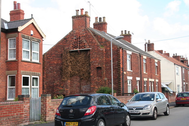
Image: © Chris Taken: 22 Jun 2013
This appropriately named line of cottages once adjoined the Primitive Methodist Chapel, but the end section has been demolished, or perhaps destroyed by bombing in WW2? https://web.archive.org/web/20120422105623/http://www.pluralist.freeuk.com/newholl/history.html
Images are licensed for reuse under creativecommons.org/licenses/by-sa/2.0
Image Location
Latitude
53.698865
Longitude
-0.360332