Westfield Road and the junction with the drive to Green Gate
Introduction
The photograph on this page of Westfield Road and the junction with the drive to Green Gate by Chris as part of the Geograph project.
The Geograph project started in 2005 with the aim of publishing, organising and preserving representative images for every square kilometre of Great Britain, Ireland and the Isle of Man.

There are currently over 7.5m images from over 14,400 individuals and you can help contribute to the project by visiting https://www.geograph.org.uk
Westfield Road and the junction with the drive to Green Gate
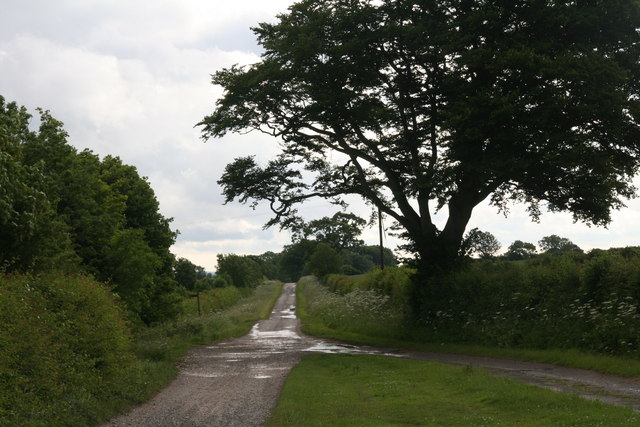
Image: © Chris Taken: 22 Jun 2013
On the left a footpath leads down to the Humber, whilst behind the camera the road continues as a track.
Images are licensed for reuse under creativecommons.org/licenses/by-sa/2.0
Image Location


Leaflet Map data © OpenStreetMap
Latitude
53.68594
Longitude
-0.477588