The Ford at Hints
Introduction
The photograph on this page of The Ford at Hints by Dave Toy as part of the Geograph project.
The Geograph project started in 2005 with the aim of publishing, organising and preserving representative images for every square kilometre of Great Britain, Ireland and the Isle of Man.

There are currently over 7.5m images from over 14,400 individuals and you can help contribute to the project by visiting https://www.geograph.org.uk
The Ford at Hints
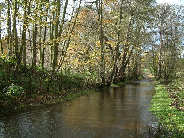
Image: © Dave Toy Taken: 26 Nov 2006
This is the point where Rookery Lane crosses Black Brook and the river changes name to Bourne Brook. Nowadays,water only flows along the road after heavy rain. During drier spells, the river follows the original course under the road higher up.
Images are licensed for reuse under creativecommons.org/licenses/by-sa/2.0
Image Location
Latitude
52.623014
Longitude
-1.771876