Direction signs, Helen's Bay
Introduction
The photograph on this page of Direction signs, Helen's Bay by Albert Bridge as part of the Geograph project.
The Geograph project started in 2005 with the aim of publishing, organising and preserving representative images for every square kilometre of Great Britain, Ireland and the Isle of Man.

There are currently over 7.5m images from over 14,400 individuals and you can help contribute to the project by visiting https://www.geograph.org.uk
Direction signs, Helen's Bay
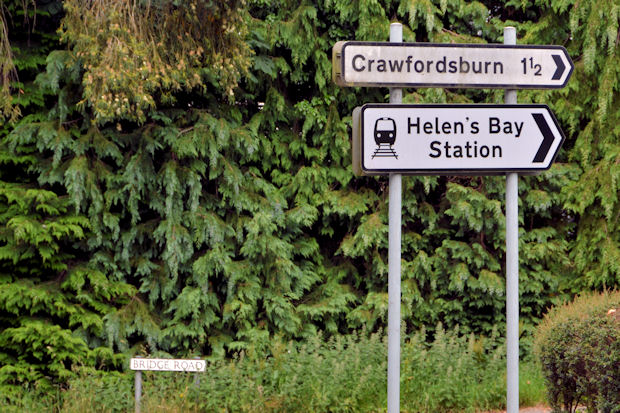
Image: © Albert Bridge Taken: 25 Jun 2013
Two direction signs at the Fort Road end of the Bridge Road. The lower one is the current “station” standard which replaced this style Image
Images are licensed for reuse under creativecommons.org/licenses/by-sa/2.0
Image Location
Latitude
54.670284
Longitude
-5.749011