Bonehill and Bonehill Rocks
Introduction
The photograph on this page of Bonehill and Bonehill Rocks by Derek Harper as part of the Geograph project.
The Geograph project started in 2005 with the aim of publishing, organising and preserving representative images for every square kilometre of Great Britain, Ireland and the Isle of Man.

There are currently over 7.5m images from over 14,400 individuals and you can help contribute to the project by visiting https://www.geograph.org.uk
Bonehill and Bonehill Rocks
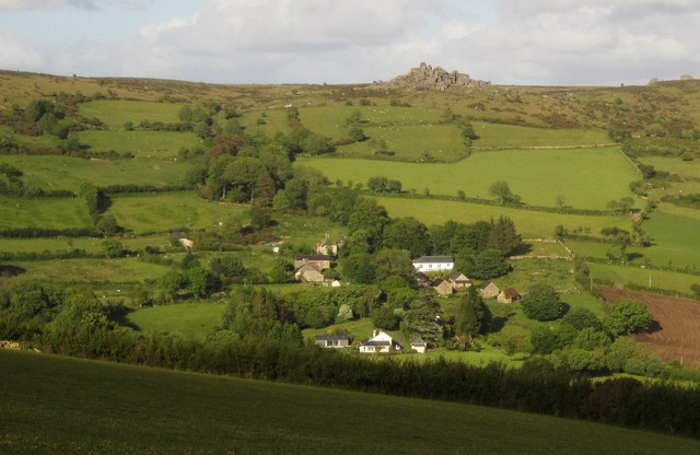
Image: © Derek Harper Taken: 15 Jun 2013
From Widecombe in the Moor Footpath 29 as it follows the track from Kingshead down to Widecombe, looking across the East Webburn valley. The lane up from the hamlet onto the moor climbs through the line of trees.
Images are licensed for reuse under creativecommons.org/licenses/by-sa/2.0
Image Location
Latitude
50.582377
Longitude
-3.802272