Road to Harris, seen from A858
Introduction
The photograph on this page of Road to Harris, seen from A858 by James Allan as part of the Geograph project.
The Geograph project started in 2005 with the aim of publishing, organising and preserving representative images for every square kilometre of Great Britain, Ireland and the Isle of Man.

There are currently over 7.5m images from over 14,400 individuals and you can help contribute to the project by visiting https://www.geograph.org.uk
Road to Harris, seen from A858
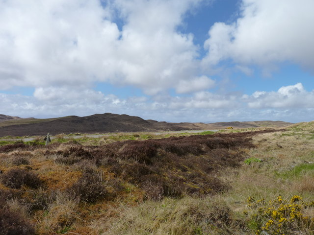
Image: © James Allan Taken: 27 May 2013
The A859 towards Tarbert in Harris can be glimpsed here, seen from the A858 road to west Lewis from Cameron Terrace.
Images are licensed for reuse under creativecommons.org/licenses/by-sa/2.0
Image Location
Latitude
58.154067
Longitude
-6.499733