Flooding at Ratcliffe Culey
Introduction
The photograph on this page of Flooding at Ratcliffe Culey by Stephen McKay as part of the Geograph project.
The Geograph project started in 2005 with the aim of publishing, organising and preserving representative images for every square kilometre of Great Britain, Ireland and the Isle of Man.

There are currently over 7.5m images from over 14,400 individuals and you can help contribute to the project by visiting https://www.geograph.org.uk
Flooding at Ratcliffe Culey
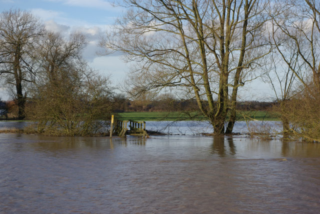
Image: © Stephen McKay Taken: 3 Mar 2007
Substantial flooding has occurred at the confluence of the River Sence and a tributary stream, following a night of heavy rain. A bridge carrying the Ratcliffe Culey - Sheepy Magna footpath over the stream is marooned in a sea of floodwater.
Images are licensed for reuse under creativecommons.org/licenses/by-sa/2.0
Image Location
Latitude
52.595294
Longitude
-1.520315