Camberlot Wood
Introduction
The photograph on this page of Camberlot Wood by Simon Carey as part of the Geograph project.
The Geograph project started in 2005 with the aim of publishing, organising and preserving representative images for every square kilometre of Great Britain, Ireland and the Isle of Man.

There are currently over 7.5m images from over 14,400 individuals and you can help contribute to the project by visiting https://www.geograph.org.uk
Camberlot Wood
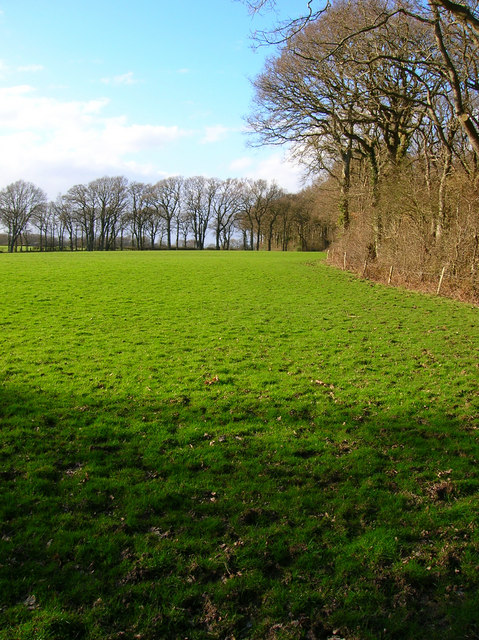
Image: © Simon Carey Taken: 3 Mar 2007
The footpath from Clover Farm to Chalvington Stud Farm follows its southern border.
Images are licensed for reuse under creativecommons.org/licenses/by-sa/2.0
Image Location
Latitude
50.877131
Longitude
0.199379