Tree lopping on Crouchman's Farm Lane
Introduction
The photograph on this page of Tree lopping on Crouchman's Farm Lane by Robin Webster as part of the Geograph project.
The Geograph project started in 2005 with the aim of publishing, organising and preserving representative images for every square kilometre of Great Britain, Ireland and the Isle of Man.

There are currently over 7.5m images from over 14,400 individuals and you can help contribute to the project by visiting https://www.geograph.org.uk
Tree lopping on Crouchman's Farm Lane
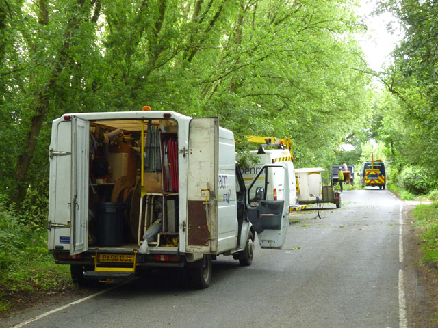
Image: © Robin Webster Taken: 24 Jun 2013
There were a great many 'Road closed' and diversion signs in the area, and the cause was finally tracked down to this, which seems to be activity sponsored by BT to clear branches away from telephone lines. BT Openreach vehicles are nearer, the vanguard appears to be in the hands of Fen Contracts.
Images are licensed for reuse under creativecommons.org/licenses/by-sa/2.0
Image Location
Latitude
51.751144
Longitude
0.609749