Combs Reservoir
Introduction
The photograph on this page of Combs Reservoir by Graham Hogg as part of the Geograph project.
The Geograph project started in 2005 with the aim of publishing, organising and preserving representative images for every square kilometre of Great Britain, Ireland and the Isle of Man.

There are currently over 7.5m images from over 14,400 individuals and you can help contribute to the project by visiting https://www.geograph.org.uk
Combs Reservoir
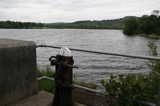
Image: © Graham Hogg Taken: 17 Jun 2013
Pronounced to rhyme with 'tombs', the reservoir was built to supply water to the Peak Forest Canal. It is now also used for sailing and fishing.
Images are licensed for reuse under creativecommons.org/licenses/by-sa/2.0
Image Location
Latitude
53.314493
Longitude
-1.949678