Stourport Road, Kidderminster
Introduction
The photograph on this page of Stourport Road, Kidderminster by P L Chadwick as part of the Geograph project.
The Geograph project started in 2005 with the aim of publishing, organising and preserving representative images for every square kilometre of Great Britain, Ireland and the Isle of Man.

There are currently over 7.5m images from over 14,400 individuals and you can help contribute to the project by visiting https://www.geograph.org.uk
Stourport Road, Kidderminster
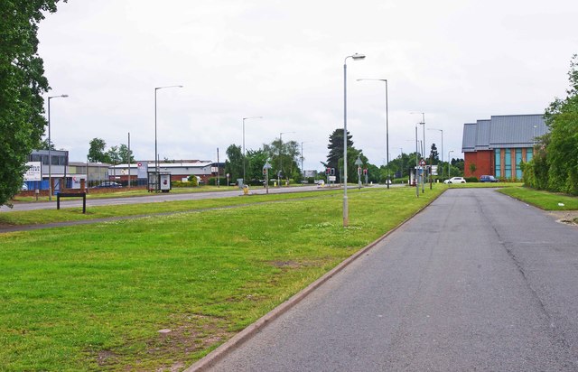
Image: © P L Chadwick Taken: 23 Jun 2013
The main Stourport Road is on the left. The road on the right, from where the photograph was taken, is the service road, which gives access to various industrial premises on the west side of Stourport Road. In the distance, on the right, is part of the new offices of Wyre Forest District Council. See:- Image Not long after the traffic lights in the far distance, is the boundary between the towns of Kidderminster and Stourport-on-Severn. Both are within the Wyre Forest District.
Images are licensed for reuse under creativecommons.org/licenses/by-sa/2.0
Image Location
Latitude
52.360781
Longitude
-2.268534