Former salmon fishers' bothy
Introduction
The photograph on this page of Former salmon fishers' bothy by Iain A Robertson as part of the Geograph project.
The Geograph project started in 2005 with the aim of publishing, organising and preserving representative images for every square kilometre of Great Britain, Ireland and the Isle of Man.

There are currently over 7.5m images from over 14,400 individuals and you can help contribute to the project by visiting https://www.geograph.org.uk
Former salmon fishers' bothy
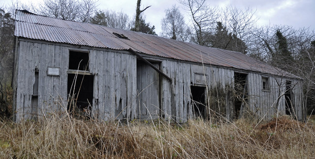
Image: © Iain A Robertson Taken: 17 Mar 2013
In Bonar Bridge on the north side below the bridge. There is an adjacent icehouse
Images are licensed for reuse under creativecommons.org/licenses/by-sa/2.0
Image Location
Latitude
57.889158
Longitude
-4.345723