Highgate Baptist Tabernacle (1836)
Introduction
The photograph on this page of Highgate Baptist Tabernacle (1836) by Jim Osley as part of the Geograph project.
The Geograph project started in 2005 with the aim of publishing, organising and preserving representative images for every square kilometre of Great Britain, Ireland and the Isle of Man.

There are currently over 7.5m images from over 14,400 individuals and you can help contribute to the project by visiting https://www.geograph.org.uk
Highgate Baptist Tabernacle (1836)
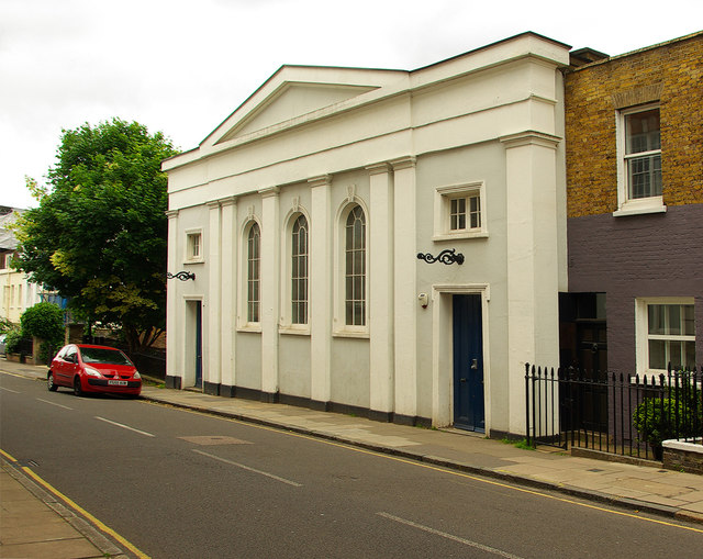
Image: © Jim Osley Taken: 23 Jun 2013
Converted to a library for the nearby Highgate School. A Grade II listed building documented at this http://list.english-heritage.org.uk/resultsingle.aspx?uid=1358876
Images are licensed for reuse under creativecommons.org/licenses/by-sa/2.0
Image Location
Latitude
51.572572
Longitude
-0.149061