Sikh Temple, Wakefield Road
Introduction
The photograph on this page of Sikh Temple, Wakefield Road by David Spencer as part of the Geograph project.
The Geograph project started in 2005 with the aim of publishing, organising and preserving representative images for every square kilometre of Great Britain, Ireland and the Isle of Man.

There are currently over 7.5m images from over 14,400 individuals and you can help contribute to the project by visiting https://www.geograph.org.uk
Sikh Temple, Wakefield Road
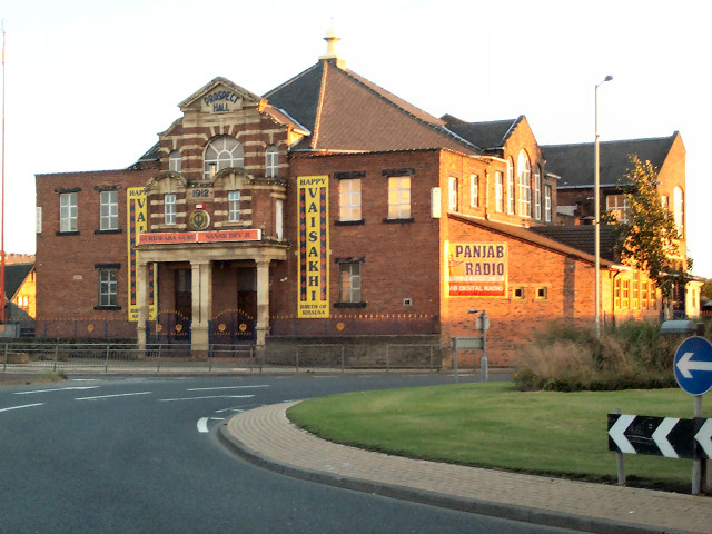
Image: © David Spencer Taken: 8 Aug 2005
At Bowling Back Lane roundabout. The temple was formerly the Methodist Prospect Hall, built in 1912.
Images are licensed for reuse under creativecommons.org/licenses/by-sa/2.0
Image Location


Leaflet Map data © OpenStreetMap
Latitude
53.787512
Longitude
-1.739888