Anchor Inn Oast House
Introduction
The photograph on this page of Anchor Inn Oast House by David Anstiss as part of the Geograph project.
The Geograph project started in 2005 with the aim of publishing, organising and preserving representative images for every square kilometre of Great Britain, Ireland and the Isle of Man.

There are currently over 7.5m images from over 14,400 individuals and you can help contribute to the project by visiting https://www.geograph.org.uk
Anchor Inn Oast House
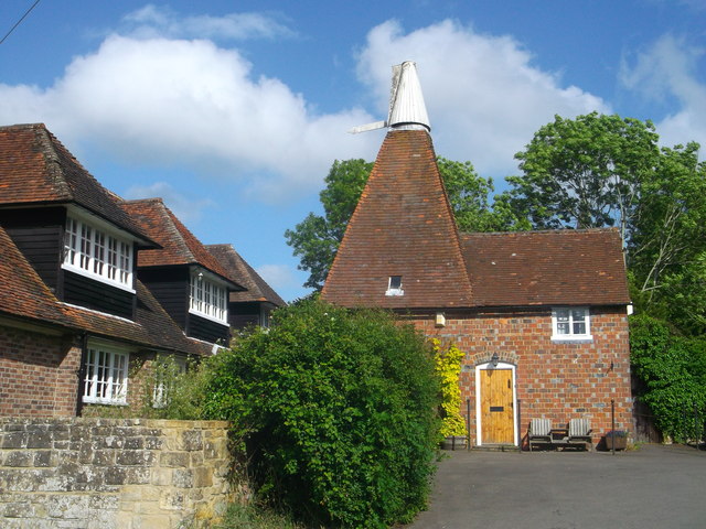
Image: © David Anstiss Taken: 15 Jun 2013
As seen from Hartfield high Street. Grade II listed, see http://www.britishlistedbuildings.co.uk/en-296306-oasthouse-in-the-garden-and-to-the-north for more details on the oast.
Images are licensed for reuse under creativecommons.org/licenses/by-sa/2.0
Image Location
Latitude
51.100841
Longitude
0.109422