Field below Tolcis Farm
Introduction
The photograph on this page of Field below Tolcis Farm by Derek Harper as part of the Geograph project.
The Geograph project started in 2005 with the aim of publishing, organising and preserving representative images for every square kilometre of Great Britain, Ireland and the Isle of Man.

There are currently over 7.5m images from over 14,400 individuals and you can help contribute to the project by visiting https://www.geograph.org.uk
Field below Tolcis Farm
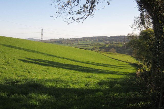
Image: © Derek Harper Taken: 16 May 2013
Looking down the other side of the field boundary shown in Image], with the Yart valley ahead.
Images are licensed for reuse under creativecommons.org/licenses/by-sa/2.0
Image Location
Latitude
50.801569
Longitude
-3.030745