Field boundary below Tolcis Hill
Introduction
The photograph on this page of Field boundary below Tolcis Hill by Derek Harper as part of the Geograph project.
The Geograph project started in 2005 with the aim of publishing, organising and preserving representative images for every square kilometre of Great Britain, Ireland and the Isle of Man.

There are currently over 7.5m images from over 14,400 individuals and you can help contribute to the project by visiting https://www.geograph.org.uk
Field boundary below Tolcis Hill
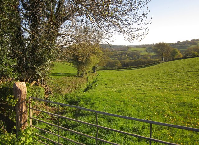
Image: © Derek Harper Taken: 16 May 2013
A view from the lane between Tolcis Cross and Wellands Cross. Yeatlands Coppice can be seen further down the hillside towards the Yarty valley.
Images are licensed for reuse under creativecommons.org/licenses/by-sa/2.0
Image Location
Latitude
50.80256
Longitude
-3.030625