Giedd bridleway ascends
Introduction
The photograph on this page of Giedd bridleway ascends by Nigel Davies as part of the Geograph project.
The Geograph project started in 2005 with the aim of publishing, organising and preserving representative images for every square kilometre of Great Britain, Ireland and the Isle of Man.

There are currently over 7.5m images from over 14,400 individuals and you can help contribute to the project by visiting https://www.geograph.org.uk
Giedd bridleway ascends
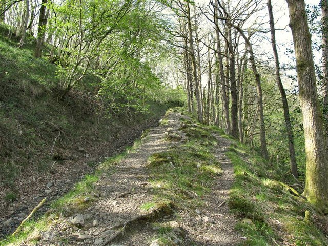
Image: © Nigel Davies Taken: 19 May 2013
This must have been a farm track in the past but now it is jagged, uneven and rutted.
Images are licensed for reuse under creativecommons.org/licenses/by-sa/2.0
Image Location


Leaflet Map data © OpenStreetMap
Latitude
51.80235
Longitude
-3.754943