Fields near Uphay Farm
Introduction
The photograph on this page of Fields near Uphay Farm by Derek Harper as part of the Geograph project.
The Geograph project started in 2005 with the aim of publishing, organising and preserving representative images for every square kilometre of Great Britain, Ireland and the Isle of Man.

There are currently over 7.5m images from over 14,400 individuals and you can help contribute to the project by visiting https://www.geograph.org.uk
Fields near Uphay Farm
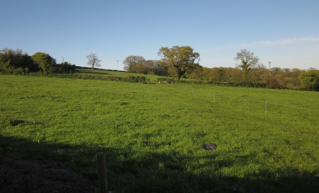
Image: © Derek Harper Taken: 16 May 2013
From Uphay Lane, with pasture and field boundary trees, and Cloakham Covert in the background.
Images are licensed for reuse under creativecommons.org/licenses/by-sa/2.0
Image Location
Latitude
50.792475
Longitude
-3.011533