Polharrow View
Introduction
The photograph on this page of Polharrow View by Mary and Angus Hogg as part of the Geograph project.
The Geograph project started in 2005 with the aim of publishing, organising and preserving representative images for every square kilometre of Great Britain, Ireland and the Isle of Man.

There are currently over 7.5m images from over 14,400 individuals and you can help contribute to the project by visiting https://www.geograph.org.uk
Polharrow View
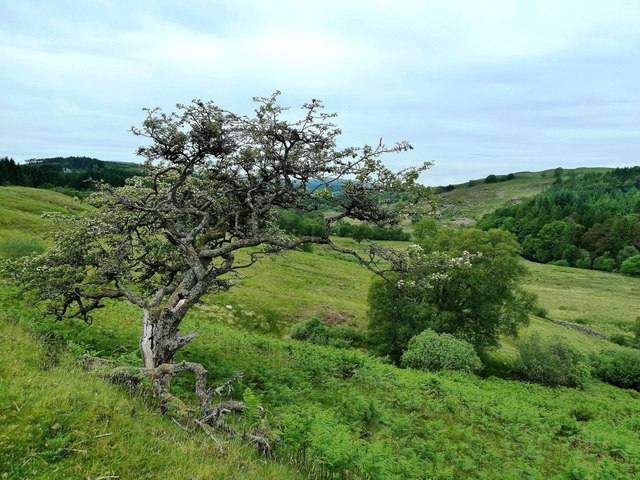
Image: © Mary and Angus Hogg Taken: 18 Jun 2013
This twisted old hawthorn tree is growing by the roadside above Polharrow Burn.
Images are licensed for reuse under creativecommons.org/licenses/by-sa/2.0
Image Location
Latitude
55.133555
Longitude
-4.203811