Tong Street A650
Introduction
The photograph on this page of Tong Street A650 by David Spencer as part of the Geograph project.
The Geograph project started in 2005 with the aim of publishing, organising and preserving representative images for every square kilometre of Great Britain, Ireland and the Isle of Man.

There are currently over 7.5m images from over 14,400 individuals and you can help contribute to the project by visiting https://www.geograph.org.uk
Tong Street A650
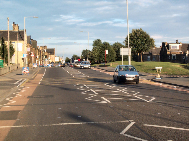
Image: © David Spencer Taken: 8 Aug 2005
The main road from Wakefield to Bradford and beyond. As the name implies, Tong Street lies on the course of a Roman road (though the course beyond here through Bradford is unknown). The truncated terraces and grassed area on the right reflects early seventies demolition for a road upgrade which never took place, hence the subsequent tree planting and atrocious congestion.
Images are licensed for reuse under creativecommons.org/licenses/by-sa/2.0
Image Location


Leaflet Map data © OpenStreetMap
Latitude
53.770376
Longitude
-1.718025