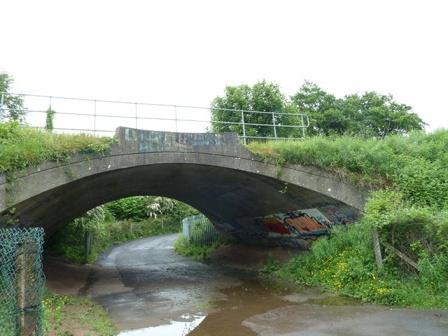
Railway arch, Mossley
Introduction
The photograph on this page of Railway arch, Mossley by Robert Ashby as part of the Geograph project.
The Geograph project started in 2005 with the aim of publishing, organising and preserving representative images for every square kilometre of Great Britain, Ireland and the Isle of Man.
There are currently over 7.5m images from over 14,400 individuals and you can help contribute to the project by visiting https://www.geograph.org.uk

Image: © Robert Ashby Taken: 17 Jun 2013
The rather ugly concrete arch was built in 1933 when the Bleach Green viaducts at Whiteabbey, completed at the same time, enabled trains to bypass Greenisland where they formerly had to reverse thus improving the service to Derry. The path beneath the arch leads from the Three Mile Glen to the Old Carrickfergus Road and links up with the Ulster Way up to Woodburn Forest.

