Parkhouse Road
Introduction
The photograph on this page of Parkhouse Road by Alan Walker as part of the Geograph project.
The Geograph project started in 2005 with the aim of publishing, organising and preserving representative images for every square kilometre of Great Britain, Ireland and the Isle of Man.

There are currently over 7.5m images from over 14,400 individuals and you can help contribute to the project by visiting https://www.geograph.org.uk
Parkhouse Road
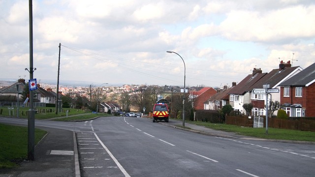
Image: © Alan Walker Taken: 2 Mar 2007
The photograph shows the southern end of Parkhouse Road. The housing in the distance (in the sunshine) is part of North Wingfield. The junction on the left is with Image (from Danesmoor), on the corner of which is a children’s Image The junction to the right is with Image For a more northerly (ahead) photograph of Parkhouse Road but looking back, in the direction of this viewpoint, click here Image Behind the viewpoint the road continues southward toward Pilsley as, Image
Images are licensed for reuse under creativecommons.org/licenses/by-sa/2.0
Image Location
Latitude
53.168896
Longitude
-1.380811