Donkey Hill
Introduction
The photograph on this page of Donkey Hill by Steve Jaikens as part of the Geograph project.
The Geograph project started in 2005 with the aim of publishing, organising and preserving representative images for every square kilometre of Great Britain, Ireland and the Isle of Man.

There are currently over 7.5m images from over 14,400 individuals and you can help contribute to the project by visiting https://www.geograph.org.uk
Donkey Hill
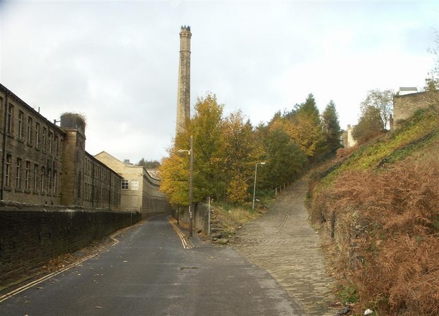
Image: © Steve Jaikens Taken: 13 Nov 2006
The steep lane on the right links the housing of Woodside and Boothtown to the old mill of Crossley Carpets. Once a very busy thoroughfare for the mill workers. I remember it as a fantastic sledging track in the days when we had real snow.
Images are licensed for reuse under creativecommons.org/licenses/by-sa/2.0
Image Location
Latitude
53.729778
Longitude
-1.862335