The Bongs, Lymm Upper Dam
Introduction
The photograph on this page of The Bongs, Lymm Upper Dam by David Dixon as part of the Geograph project.
The Geograph project started in 2005 with the aim of publishing, organising and preserving representative images for every square kilometre of Great Britain, Ireland and the Isle of Man.

There are currently over 7.5m images from over 14,400 individuals and you can help contribute to the project by visiting https://www.geograph.org.uk
The Bongs, Lymm Upper Dam
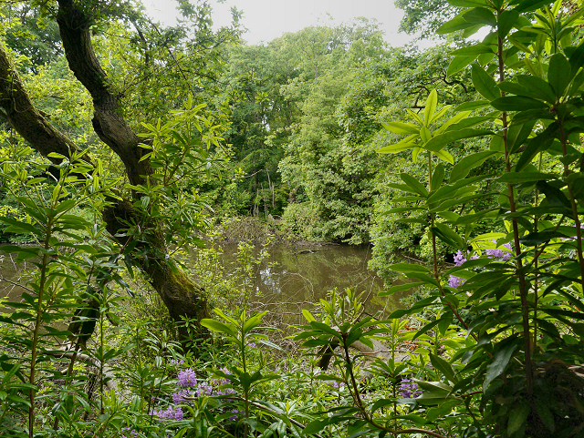
Image: © David Dixon Taken: 16 Jun 2013
'The Bongs' is an area of semi ancient woodland at the southern end of Lymm Dam. The name 'Bongs' is a medieval Cheshire dialect word, corrupted from 'le bancs' which means 'wooded banks'.
Images are licensed for reuse under creativecommons.org/licenses/by-sa/2.0
Image Location
Latitude
53.372393
Longitude
-2.484981