Chearsley from the Railway embankment during 2007 floods
Introduction
The photograph on this page of Chearsley from the Railway embankment during 2007 floods by Masquerade as part of the Geograph project.
The Geograph project started in 2005 with the aim of publishing, organising and preserving representative images for every square kilometre of Great Britain, Ireland and the Isle of Man.

There are currently over 7.5m images from over 14,400 individuals and you can help contribute to the project by visiting https://www.geograph.org.uk
Chearsley from the Railway embankment during 2007 floods
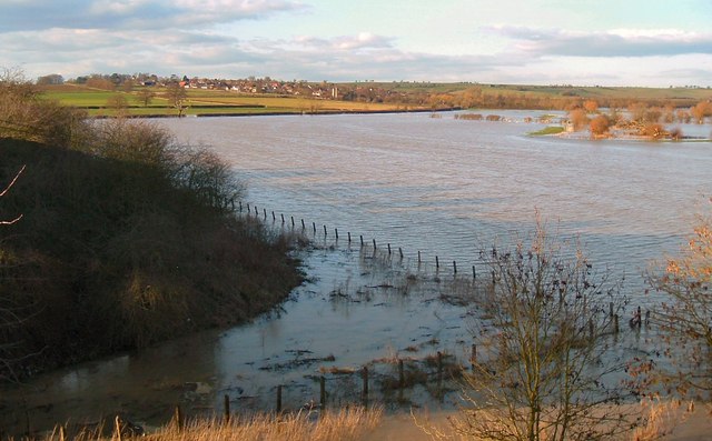
Image: © Masquerade Taken: 25 Feb 2007
Chearsley, Manor Farm, watermeadows and the Church, viewed across the River Thame Floods from the railway embankment in late afternoon sunlight on February 25 2007
Images are licensed for reuse under creativecommons.org/licenses/by-sa/2.0
Image Location
Latitude
51.788199
Longitude
-0.960449