The end of Marsh Lane a cul-de-sac
Introduction
The photograph on this page of The end of Marsh Lane a cul-de-sac by Dr Duncan Pepper as part of the Geograph project.
The Geograph project started in 2005 with the aim of publishing, organising and preserving representative images for every square kilometre of Great Britain, Ireland and the Isle of Man.

There are currently over 7.5m images from over 14,400 individuals and you can help contribute to the project by visiting https://www.geograph.org.uk
The end of Marsh Lane a cul-de-sac
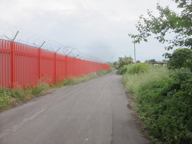
Image: © Dr Duncan Pepper Taken: 21 Jun 2013
The orange fence with razor wire on the left marks the boundary of Royal Portbury Docks whilst the Marsh Lane Caravan Park can just be glimpsed on the right.
Images are licensed for reuse under creativecommons.org/licenses/by-sa/2.0
Image Location
Latitude
51.491109
Longitude
-2.715658