Field near Holy City
Introduction
The photograph on this page of Field near Holy City by Derek Harper as part of the Geograph project.
The Geograph project started in 2005 with the aim of publishing, organising and preserving representative images for every square kilometre of Great Britain, Ireland and the Isle of Man.

There are currently over 7.5m images from over 14,400 individuals and you can help contribute to the project by visiting https://www.geograph.org.uk
Field near Holy City
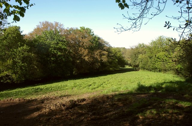
Image: © Derek Harper Taken: 16 May 2013
On the north side of the road to Ten Acre Gate, this is one of a network of small bocage fields entirely surrounded by trees. On the left is a wood.
Images are licensed for reuse under creativecommons.org/licenses/by-sa/2.0
Image Location
Latitude
50.842313
Longitude
-2.998975