Signpost, Holy City
Introduction
The photograph on this page of Signpost, Holy City by Derek Harper as part of the Geograph project.
The Geograph project started in 2005 with the aim of publishing, organising and preserving representative images for every square kilometre of Great Britain, Ireland and the Isle of Man.

There are currently over 7.5m images from over 14,400 individuals and you can help contribute to the project by visiting https://www.geograph.org.uk
Signpost, Holy City
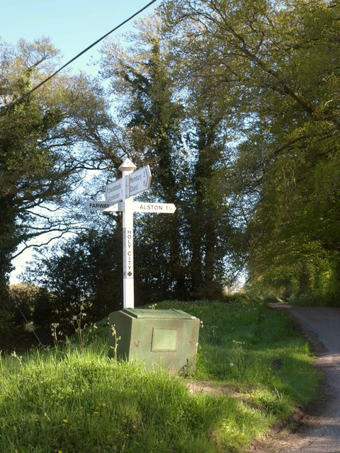
Image: © Derek Harper Taken: 16 May 2013
At the four-way junction in the hamlet, with the road to Birchill (signposted Alston) on the right. The other options are (left) Farway; (straight ahead) Chardstock & Axminster; (behind camera) Membury & Chard.
Images are licensed for reuse under creativecommons.org/licenses/by-sa/2.0
Image Location
Latitude
50.839622
Longitude
-2.998208