Field near Cuckold's Pit
Introduction
The photograph on this page of Field near Cuckold's Pit by Derek Harper as part of the Geograph project.
The Geograph project started in 2005 with the aim of publishing, organising and preserving representative images for every square kilometre of Great Britain, Ireland and the Isle of Man.

There are currently over 7.5m images from over 14,400 individuals and you can help contribute to the project by visiting https://www.geograph.org.uk
Field near Cuckold's Pit
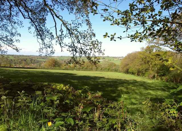
Image: © Derek Harper Taken: 16 May 2013
The view on the right side of the lane shown in Image On the right is a small unnamed wood. On the far side of the field is the road between Holy City and Chardstock. Beyond is the Kit valley.
Images are licensed for reuse under creativecommons.org/licenses/by-sa/2.0
Image Location
Latitude
50.836654
Longitude
-2.998286