Trees along former field boundary near Cuckold's Pit
Introduction
The photograph on this page of Trees along former field boundary near Cuckold's Pit by Derek Harper as part of the Geograph project.
The Geograph project started in 2005 with the aim of publishing, organising and preserving representative images for every square kilometre of Great Britain, Ireland and the Isle of Man.

There are currently over 7.5m images from over 14,400 individuals and you can help contribute to the project by visiting https://www.geograph.org.uk
Trees along former field boundary near Cuckold's Pit
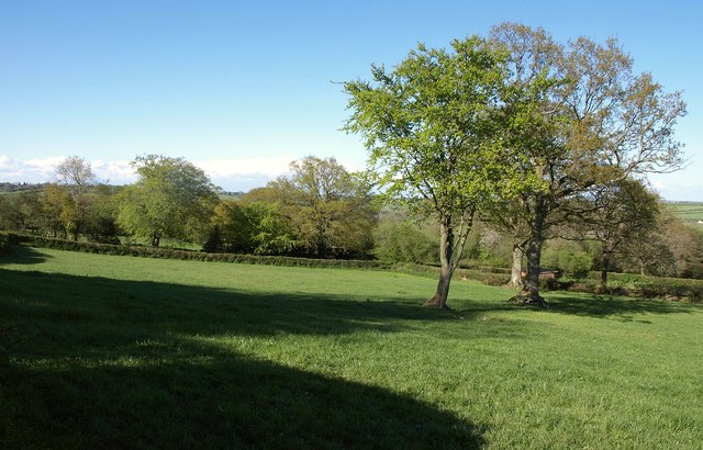
Image: © Derek Harper Taken: 16 May 2013
These are at the northern end of the elongated field shown in Image], seen from the same lane. At the rear, a track descends to Claysteps.
Images are licensed for reuse under creativecommons.org/licenses/by-sa/2.0
Image Location
Latitude
50.834413
Longitude
-2.997387